Remote Sensing and GIS

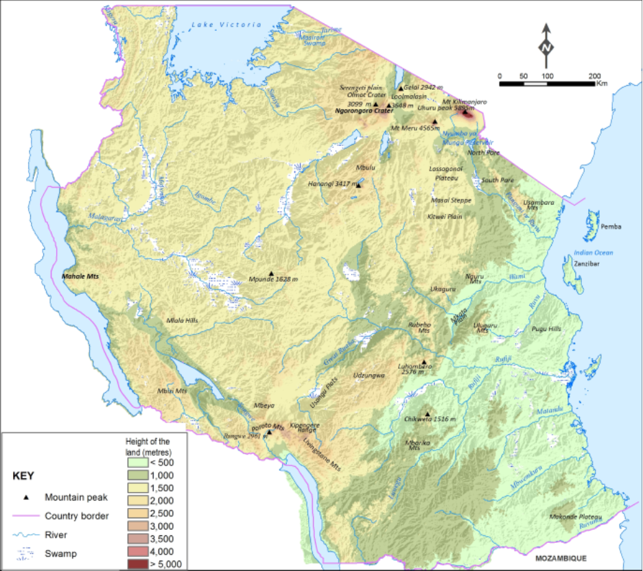
IRA has the potential, capacity and manpower in Remote Sensing and GIS. The Institute has pioneered Remote Sensing in Tanzania since 1972 for land use planning, resource assessment and environmental monitoring and management. The Institute has a remote sensing laboratory, which includes a comprehensive collection of air photos dating back from the 1950s, Up to date satellite images, and equipment for visual interpretation, image processing and photography. The GIS and remote sensing unit is also hosting the Tanzania Natural Resource Centre (TANRIC) that was established in 1994. TANRIC hosts databases on natural resources and environment for Tanzania. The government’s decision to locate the TANRIC to IRA is a testimony of its strength in co-coordinating matters related to natural resource management in Tanzania. IRA has accumulated natural resources information for many years which is gradually being incorporated into databases. Thus, IRA forms an important source of information for storage, manipulation and supply to other users including investors such as mining companies, national, regional and international institutions. The data categories available in TANRIC include socio-economic data, population and settlement, meteorology, forestry, wildlife agriculture and various publications.

