GOEGRAPHIC INFORMATION SYSTEMS (GIS) LABORATORY
BACKGROUND
Geographic Information Systems (GIS) Laboratory was established in 1994 by the Government of the United Republic of Tanzania as part of its Forest Resources Management Project (FRMP). This Information Centre is managed by IRA within the University of Dar es Salaam premises. GIS Laboratory in IRA strength matters related to natural resource management.
The GIS laboratory offers various services to University students, staff and various communities. It has accumulated and acted as a repository for data which are incorporating into databases for use with those who need it.
Objectives of GIS LABORATORY
- To collect and organize spatial data on Natural Resources and Environment.
- To develop a computerized Information System that store, manipulate and maintain such data.
- To provide information to policy makers.
- To identify data users and establish their requirements.
- To increase awareness of other organizations collecting and disseminating natural resources and environment data in Tanzania.
- To facilitate and encourage the exchange of ideas among resource information agencies at National and International levels.
Categories of Data at GIS LABORATORY
- Spatial data covering the entire country
- Land Use / Cover types data based on Landsat tm of 1994/95 and 2010
- Satellite Images – Landsat TM, ETM and Landsat 8 from 1980s to 2014
- Aerial photo collection from 1950s to 1970s covering about 60% of the country.
- Scanned topographic maps at a scale of 1:50,000 covering the whole country
- Mean Annual Rainfall Map of Tanzania
- Agro-econological zones of Tanzania
- Tanzania Geology data
- Tanzania Administrative boundaries
- Soils Map of Tanzania
- Drainage network
- Protected Areas (Forest, Games and National Parks).
- Non spatial data
- Population data based on the 1988, 2002 and 2012 census
- Various documents (books, research reports, etc) on natural resources and environment.
Other services offered by GIS LABORATORY
- Sale of Land Use / Land Cover Maps (Digital and hard copies).
- Digital Cartography and data analysis
- Database design and Management.
- Data processing and analysis.
- Remotely sensed image processing , interpretation and analysis
- Maps production
SHORT COURSES OFFERED AT IRA GIS LABORATORY
- GIS Laboratory offers short courses and tailor made courses in Geographic Information Systems (GIS) and Remote Sensing for those engaged in GIS development and implementation in both the public and private sectors.
- Target groups are Professionals: surveyors, engineers, planners, geographers, agriculturists, Resource Management personnel and all others who are interested in the use, development, and management of GIS.
IRA GIS LABORATORY CAPACITY
- IRA GIS Laboratory has 4 staff, 2 with Master’s degree in Geoinformatics, Computer science and Natural Resources Management, 1 with Bachelor in computer science and 1 with diploma in cartography.
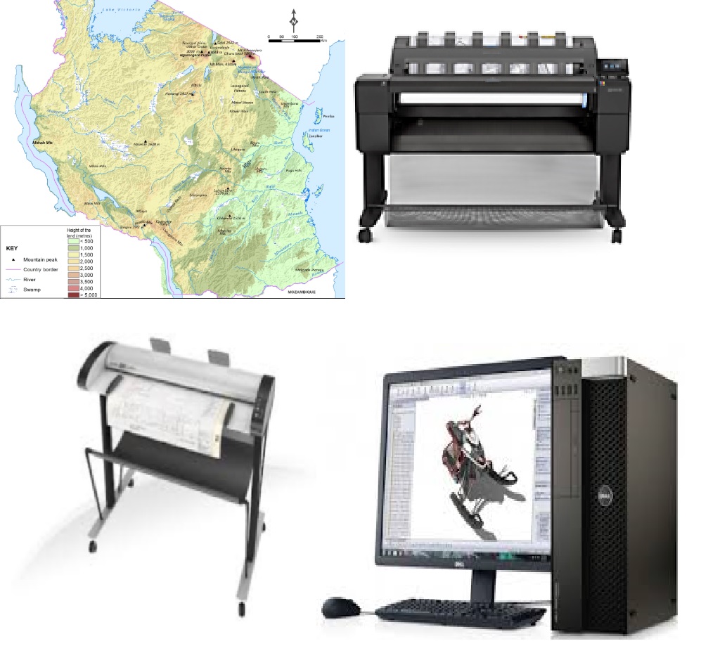
- The laboratory is equipped with 10 Workstation computers, 7 high capacity laptops, 5 A0 plotters and 1 A0 photogrammetric scanner
SERVICES OFFERED
GIS Laboratory offers various services:
- Sale of Land Use/Land Cover data (both hard copies and digital) based on Landsat Images of 1995/96 and 2010.
- Digital Cartography and data analysis.
- Database design and Management.
- Data processing and analysis
- Printing A0,A1,A2,A3,A4 Size
- Large format scanning A0, A1, A2, A3, A4
SOME RECENT PROJECTS UNDERTAKEN AT GIS LABORATORY
- Environmental Assessments of Irrigation and Rural Roads Projects in Tanzania and Zanzibar
- Preparation of maps for Tanzania Secondary School Atlas
- Status of Land Degradation in Tanzania
- Climate Change Impacts, Adaptation and Mitigation' (CCIAM)
- Enhancing the measuring, reporting and verification of forests in Tanzania through the application of advanced remote sensing techniques
- Mapping of the Lava and ashes eruption at Oldonyo Lengai mountain
- Analysis of Land Use and Land Cover Changes in Rungwe District using remote sensing techniques, French CORUS program
- Land Cover mapping in the Kagera Basin covering 4 countries i.e., Tanzania, Uganda, Burundi and Rwanda,
- Integrated Management Plan For The Central Slave And Ivory Trade Caravan Route And Related Centers
- Mapping of Catchment Forest Reserves in Tanga, Kilimanjaro and Morogoro.
- Assessment of Viability of Game Controlled Area category as Wildlife Conservation Areas.